The Pilot Mountain Pinnacle
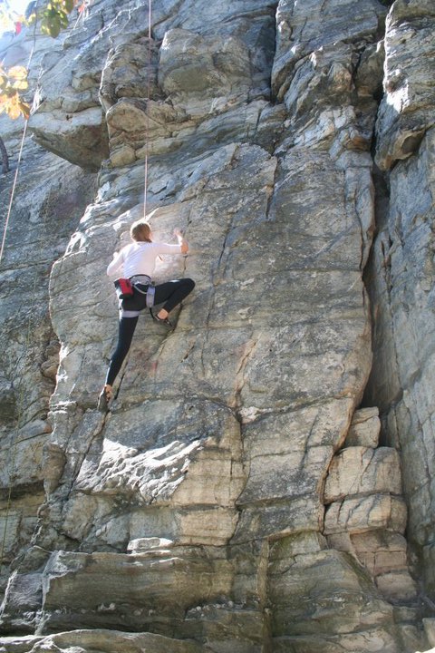
Climbing: A few dozen routes line a single long wall which is about a 5 minute walk from the main parking lot. Almost everything is top-roping or trad, but there are a few fairly run-out sport routes. We did all top-roping in or near the Three Bears Gully; 5 routes in the 5.7-5.8 range, 1 5.10, 1 5.11. Established bouldering routes seem to be limited to two rocks - we did two V1-V2s on Trailside Boulder
Hiking: Starting at Massie Gap, hike up the Rhododendron Trail (.5 miles), start on southbound AT (.5 miles), camp just outside boundary of State Park, go another 1.75 miles to Rhododendron Gap, hide bags in bush and hike 2 miles to summit of Mt. Rogers and another 2 miles back to gap, hike 3 miles on Crest Trail (unpleasant horse trail, but has a trickling water source) to Scales, hike southbound on AT for 5.5 miles back to Rhododendron Trail. Total: 11.75 miles with bags and 4 without.
Camping: No admission to Pilot Mountain park after 8PM - only option for arriving late is group camp site ($2/person), but someone must get there before 7PM to pay for site and get combination - access road is not particularly low-clearance friendly. Grayson Highlands is always open but backcountry camping is not allowed within the park - the nearest option is 1 mile out; camping is free but parking is $3/day.
Costs (per person):
Gas: $35
Cuz Gary's Country Buffet (Pilot Mountain): $7.21
Laksa at Malaya (Charlotte): $6.95
Group camping site: $2
Two days parking at Grayson: $1.50
Trip Members: Jeff, Andy, Andrew, Matt, Alanna, Kevin, Caroline, Deme, Tony, Tyler, Zorana, Maureen, Sallie, Reade, Kami, Rob

The Pilot Mountain Pinnacle

One of three ill-maintained stream crossings on the way to the group campsite; probably the one where Sallie lost a good chunk of the bottom of her car


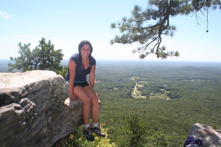
The view with which all of Pilot Mountain's climbing routes end

Testing a top roping rig


Setting up more routes


Tree soloing


Sunset from atop Pilot Mountain

First campsite


Wild ponies that attacked our campsite throughout Saturday night and morning


Perched atop Mount Rogers, the highest point in Virginia


At the end of the trail (notice the grime layer)